text to be added to explain the Information pages with blocks linking to them (as for other landing pages)
Information
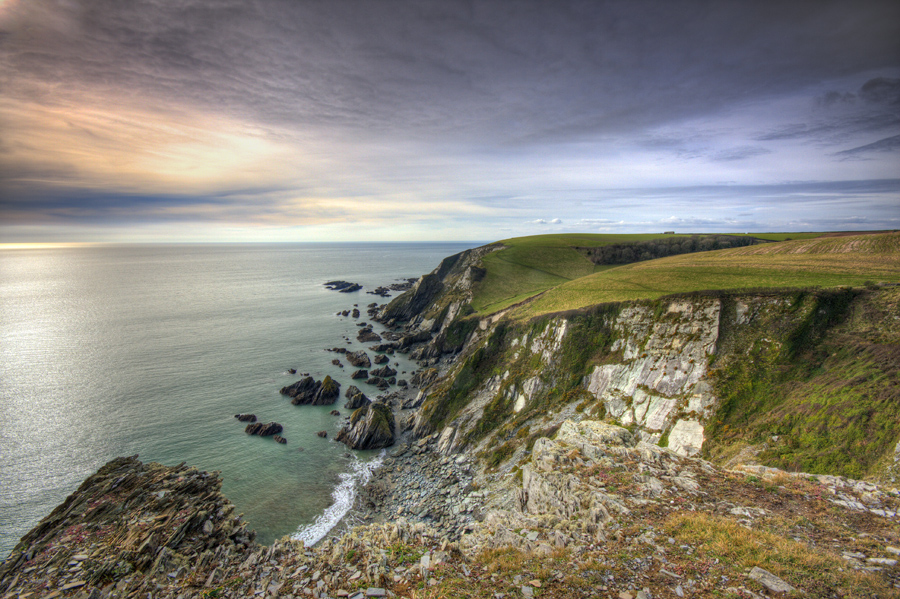
Coastline near Bigbury, David Chamberlain
Did you know
Engaging statistic or quote
Cite text consectetur adipiscing