Water quality and flood risk are hugely important services provided by nature, and across much of Devon these services are under great pressure. They are impacted by the way we manage the land, by the way we treat our wastewater and source our drinking water and by the run-off from our roads and settlements; and all of these impacts are intensified by climate change.
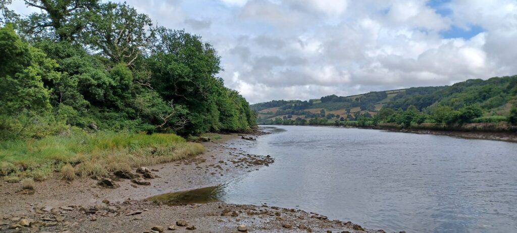
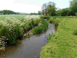
In a fully natural system, much of the water that falls on the land as rain, is absorbed by the soil and either filters deep underground to be stored in rock formations, or flows gently through the soil, finally reaching streams and rivers. Naturally-functioning river floodplains also absorb excess flows in a complex system of wetlands and multiple shallow channels that readily spill floodwaters onto the surrounding land. These natural processes slow down the water (known as natural flood management – NFM) and filter out impurities at the same time.
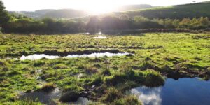
Devon has a large and growing population of wild-living beavers. This species, returning after a 400-year absence to England and now a protected species, is one of nature’s “ecosystem engineers”. Beavers build dams to protect access to their lodges and feeding grounds and these dams help form natural wetlands that store and purify water as well as boosting biodiversity.
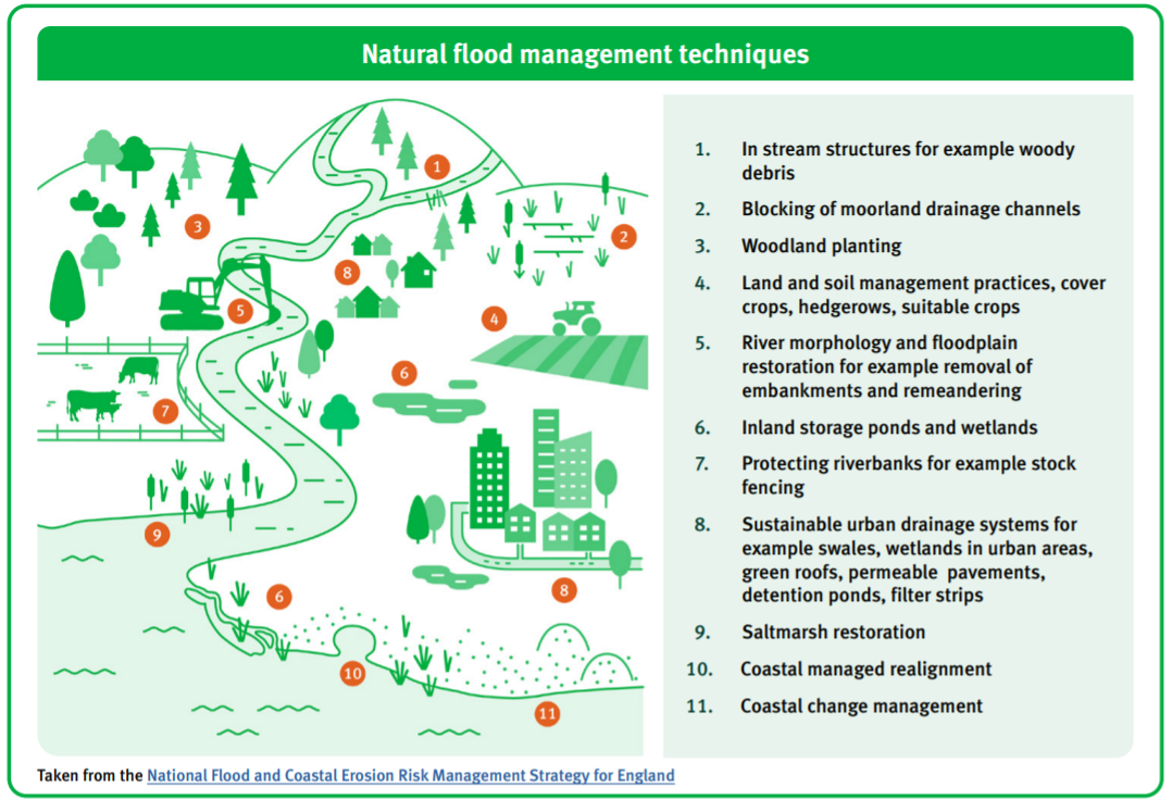
The diagram below shows some typical NFM interventions and the following film shows some of these in action. In general, the first priority for NFM and for water quality improvements is to improve soil management so that more water infiltrates into the ground. Creating more natural habitats on the surface is the next priority because these tend to slow floodwaters down through natural roughness. Reconnecting floodplains and other water storage techniques are also very valuable.
https://thefloodhub.co.uk/wp-content/uploads/2021/11/NFM-catchment-picture.png (To be inserted)
We rely on these natural systems to help absorb the impact of heavy rainfall and reduce flood risk, and to help filter out pollution so that water becomes drinkable without vastly expensive treatment and our rivers are safer to bathe in.
Well-managed, expanded and better-connected wildlife-rich habitats can help to repair and deliver these critical ecosystem services.
The LNRS aims to maximise the benefits of natural flood management and other ecosystem services, but it’s important to note that nature alone can’t solve all our problems. Improved sewage treatment, improved water supply networks, hard flood defences and reduced pollution at source all remain essential tools to protect nature and human health and wellbeing.
